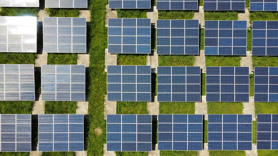
Land Selection for Renewables
Investors and landowners require precise, site-level assessments to identify viable land parcels for solar power. These must draw on a wide range of data sources, and require significant expertise to produce.
For our client, we created an automated, web-based land-suitability platform that merged government perimeter data, ownership records, and environmental indicators using advanced geospatial analytics, to streamline selection of optimal solar-farm locations. This transformed a slow, manual process that took days per site into an automated pipeline that took only minutes for each decision.
Bottlenecks in Project Finance
As Europe accelerates its renewable energy commitments, the demand for utility-scale solar has surged. Yet identifying suitable land parcels remains one of the industry’s most operationally complex bottlenecks. Public records are fragmented, cadastral boundaries vary in quality, environmental constraints are scattered across multiple data providers, and manual assessments can take days or even weeks for a single site. The result is a slow, costly, and error-prone process that limits developers’ ability to scale portfolios or compete in land negotiations.
Our client aimed to enter the solar development market with a data-driven edge. Their challenge was clear: evaluate thousands of allotments to determine which were technically viable, commercially attractive, and administratively feasible. This required integrating heterogeneous geospatial datasets, validating boundaries, calculating usable area, and assessing suitability against multiple constraints such as land shape, proximity to grid infrastructure, and ownership status.
The stakes were material. A single unsuitable parcel can cost millions in sunk feasibility work, while a timely, accurate evaluation can unlock early stage rights and investor interest. Our client needed a scalable system that translated raw geospatial data into clear development decisions.
Scaling Up
QuasiScience built a web-based geospatial decision platform that automated land analysis to identify high-potential solar farm locations. The approach combined rigorous data engineering with sound business logic to transform messy public records into actionable insights, including
- Automated land suitability scoring: government allotment perimeters, ownership records, and environmental attributes integrated into a unified spatial model, enabling rapid filtering of viable parcels.
- Flexible data exploration: an interactive map interface where users could visually inspect parcels, compare attributes, and export candidate sites for further feasibility work.
- GIS-native processing: quick and accurate processing of geographical data at scale.
Land Use Planning
- Massive speed improvement: We automated a process that previously required days per parcel to take minutes, enabling rapid, scalable portfolio-wide screening.
- A single source of truth: By unifying perimeter data, ownership records, and suitability factors, our system replaced multiple disjointed workflows.
- Investment-grade transparency: The platform provided defensible, traceable logic for land selection, improving confidence for investors, regulators, and internal stakeholders, and enabling our client to secure investment in their 1.2GW portfolio of solar farms.
- Scalable foundations for future expansion: The data architecture and GIS engine were built to accommodate national-scale land datasets, positioning our client for aggressive market growth.
Are you working in a land-intensive industry, and struggling to manage uncertainty in your investments? Contact us today to unlock faster, more data-driven decision-making.